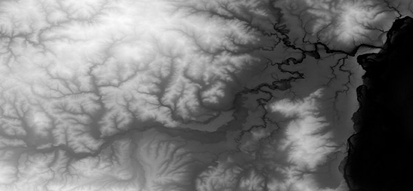
Page 1 of 1

heightmap

Posted: 15 Oct 2006, 00:35
by Dead.Rabit
heyya i used to do maps, and im wondering about making heightmaps. im wondering what the best way to create a heightmap that i control.
i want control over where hills and rivers are....
however i want to watch my poor sketches start to look realistic.

im wondering. whats the most common method/program used. im good with photoshop (though my draw pad/pen thing no longer works =/ ) and halfway through learning 3DS Max. which could make a heightmap with a little research..

i used to use photoshop before i was really good with it.. (hence never releasing a map) =p but now im good with other programs i wanna give it another go....

(p.s. sorry i would of posted logically in the "map" section but computer says no =p)

Posted: 15 Oct 2006, 00:35
by Min3mat
MS Paint you nonce

Posted: 15 Oct 2006, 00:40
by Dead.Rabit
wha??
why would u use ms paint for a heightmap?? i want my map to look realistic..

=] D.R

EDIT: wait u r talking about paint as in
start-> all programs -> accessories -> paint. right?
or am i missing something =/

Posted: 15 Oct 2006, 00:41
by Snipawolf
^ Disregard him, he likes Paint too much...

I would suggest moving this to the mapping forum, it would yield much better results (considering I have no idea of anything about mapping...)

Posted: 15 Oct 2006, 00:43
by Dead.Rabit
i was going to use DEM files, but i cant convert them...
this is a scaled down DEM and kind of what im trying to achieve


Image
EDIT: heh i was going to post in maps, but its access denied... i guess its just for map releases nowadays... or just a lil gang of people who stream out maps... which im never really gonna do.. only when i get inspiration =]
D.R

Posted: 15 Oct 2006, 00:45
by Snipawolf
I think its bryce or some... thing..

This should help

http://taspring.clan-sy.com/phpbb/viewtopic.php?t=3941

Posted: 15 Oct 2006, 00:55
by Dead.Rabit
thanks thats awsome... =]
D.R

Posted: 15 Oct 2006, 00:59
by Snipawolf
Welcome, always a good thing to help new members.

Posted: 15 Oct 2006, 01:01
by PicassoCT
Use a 3 DProg and to get those eroded Mountains use that helpfull little Programm that was mentioned in the User-Mapers Thread.. sometime ago...
Not really helpfull answer, but i can`t help myself from giving it.. :wink:

Posted: 15 Oct 2006, 01:21
by hrmph
You can just draw it in photoshop. BTW anyone can post in user map discussion.

Posted: 15 Oct 2006, 22:49
by Weaver
Dead.Rabit wrote:i was going to use DEM files, but i cant convert them...
Why can't you convert them?

Download 3Dem, load your dem file. Create a black > white colour scale and set shade depth to 0%.

Set the scale to 1:1 and save the map image. Which should look like the image you posted.